<<=Back to Top <<=Fudasho (Numbered temples)
Route:<<=Kakurinji(#20) to #21 #22 to Yakuouji(#23)=>>
Date:2020/01/31
・・・Information・・・
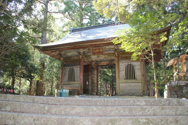
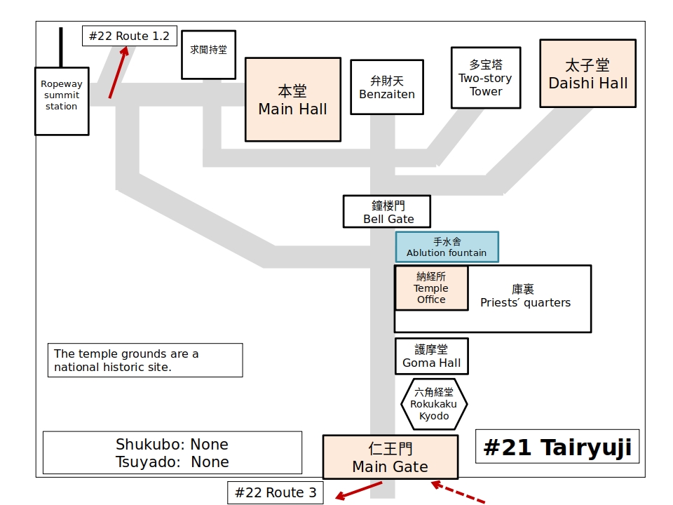
Hondo (#21) 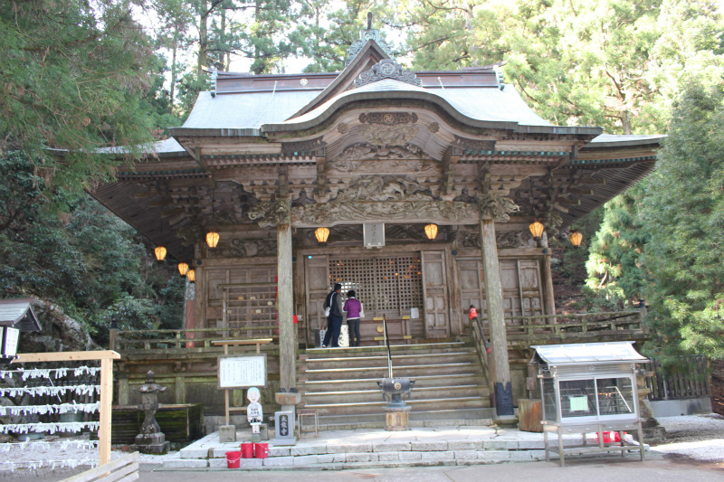
Daishido (#21)
History
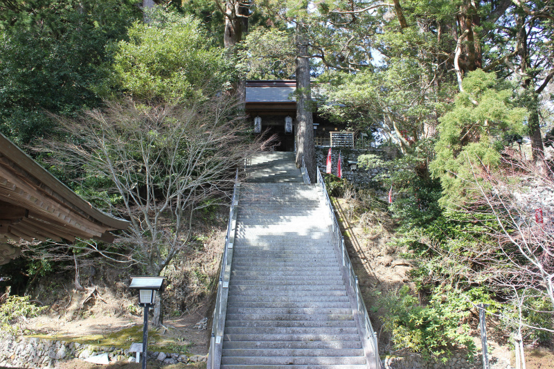
The large temple grounds are covered with enormous trees which create a mystic atmosphere. This temple located on a mountain (618 m) is called Western Kōya-san because its buildings were constructed similar to those at Mt. Kōya. Kūkai states in his book Sangō Shiiki (798) that he spent time training here. In 1992, a ropeway was built to reach the summit. [Provided by Shikoku Japan 88 Route Guide]
・・・Route Information・・・
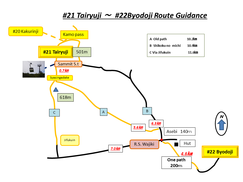
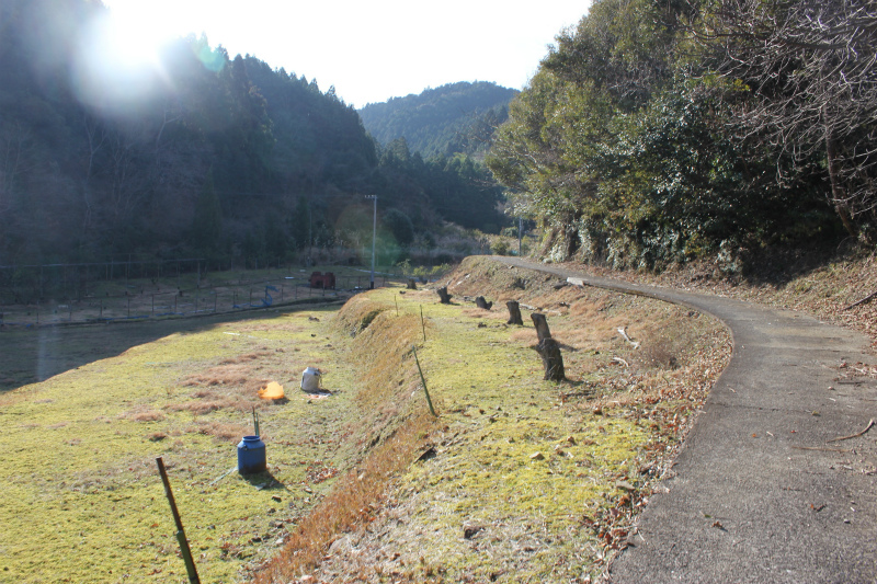
This route can be divided into two sections.
The first section: There are three routes from Taryuji (#21) to Asebi.
Route A (5.6 km) is an old road from the Edo Era called the Iwaya Road.
Route B (6.3 km) is the marked Shikoku no Michi.
Route C (7.0 km) passes Jifukuin.
The second section (4.6 km): Only 1 route. Pilgrimage road with Edo period signpost.
Distance: Route A: 10.2 km. Route C: 10.9 km. Route C: 11.6 km.
Elevation change: -156.9
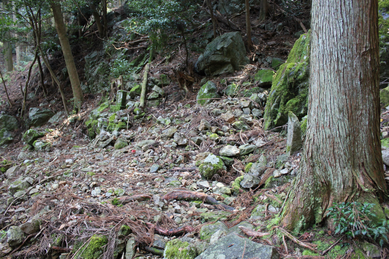
The first section (Route A)
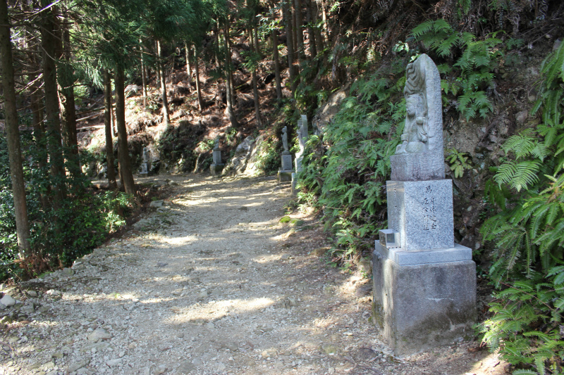
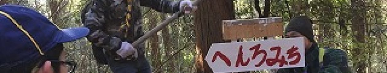
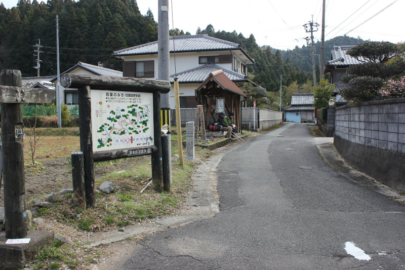
Route A (Start point for Iwaya road) 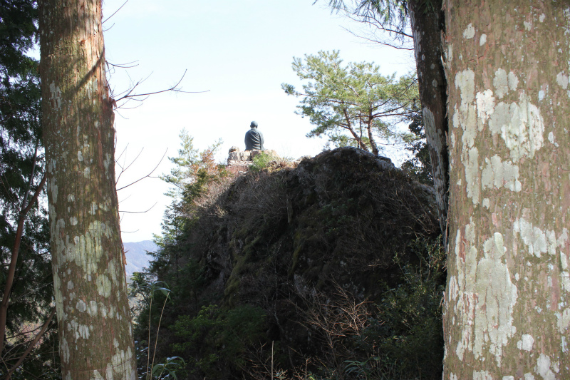
Route A (Daishi statue)
Route A (Edo era signpost.) 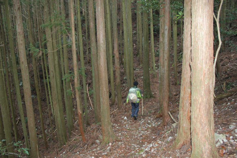
Route A (Cedar tree road.)
The first section (Route B)
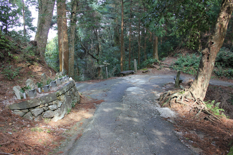
Route B (Start point for Shikokunomichi) 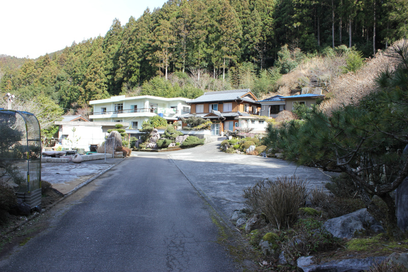
Route B (A closed pilgrim inn)
The second section
Hut at Asebi 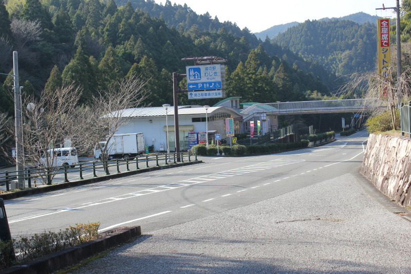
MIchinoeki near Asebi.
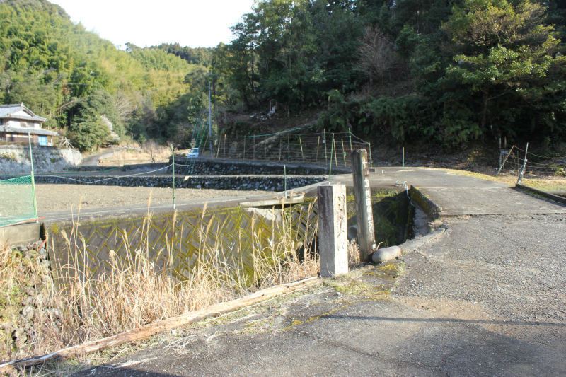
Old road. 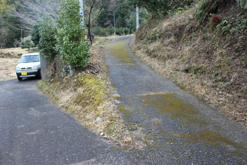
The Edo period signpost in the shade of a tree.
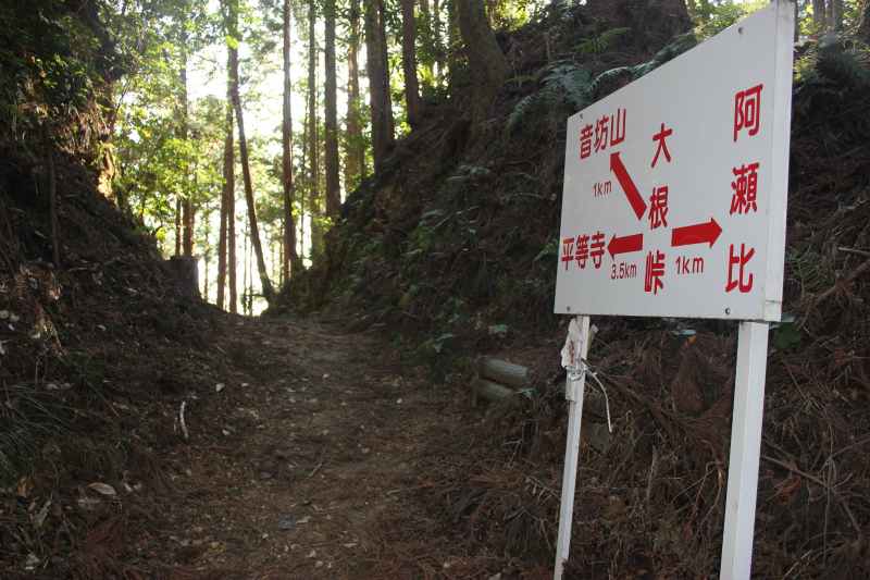
Oone pass