<<=Back to Top <<=Fudasho (Numbered temples)
Route:<<=Tairyuji (#21) to #22 #23 to Hotsumisakiji (#24)
Date:2020/01/31
・・・Information・・・
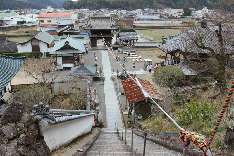
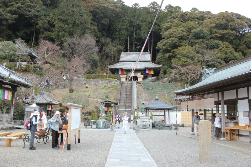
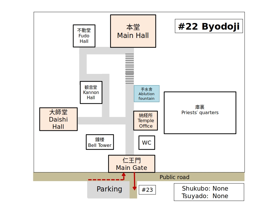
Hondo #22 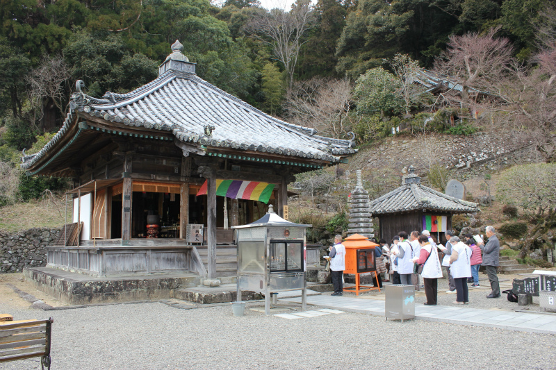
Daishido #22
History
Kūkai dug a well here with his staff and white milky water (hakusui) came up which proved to be effective in curing all sorts of sicknesses. As well, it is believed that the water will bring good fortune. There are many stories of people with leg problems who have come here and been healed. Some pilgrims left wagons here because they did not have to rely on them any longer. [Provided by Shikoku Japan 88 Route Guide]
・・・Route Information・・・
This route can be divided into two sections.
The first section: From Byodoji (#22) to Point 7.0 km. Only 1 route.
The second section: From point 7.0 km to Yakuoji (#23) — 2 routes.
Route A is an interesting road that was the main route before the 1960s. This route is a pilgrimage road with a variety of mountain and coastal sections.
There are two routes from the 7.8 km point to JR Tainohama Station(12.5 km point).
Route A1 (3.2 km) is the regular road from the Edo era. It was restored in 2019.
Route A2 (4.7 km) was built after WWII.
Route B (13.2 km) was built about 40 years ago.
Distance: Route A1 — 21.0km. Route A2 — 22.5km. Route B 20.2 km
Elevation change: -19.9
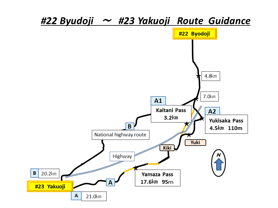
(Guidance)
The first section
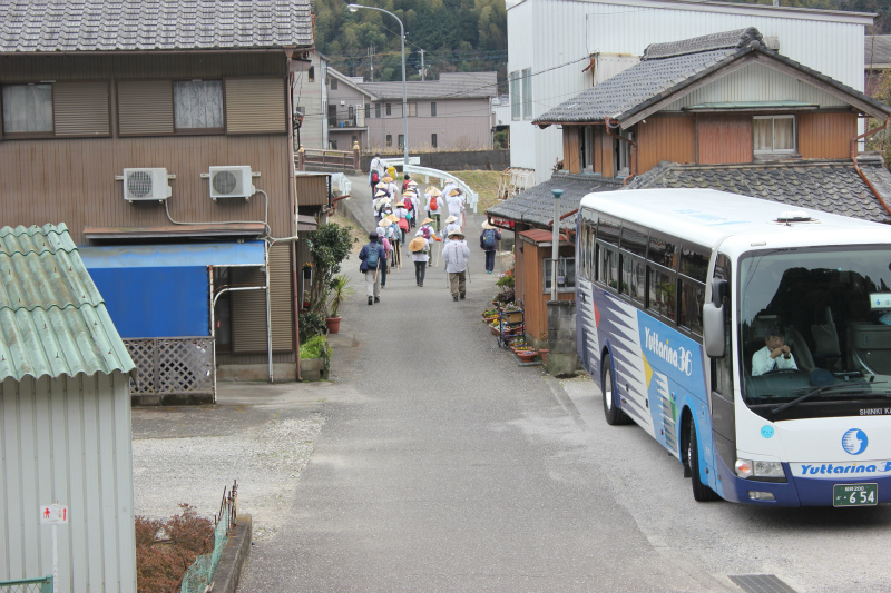
In front of #22 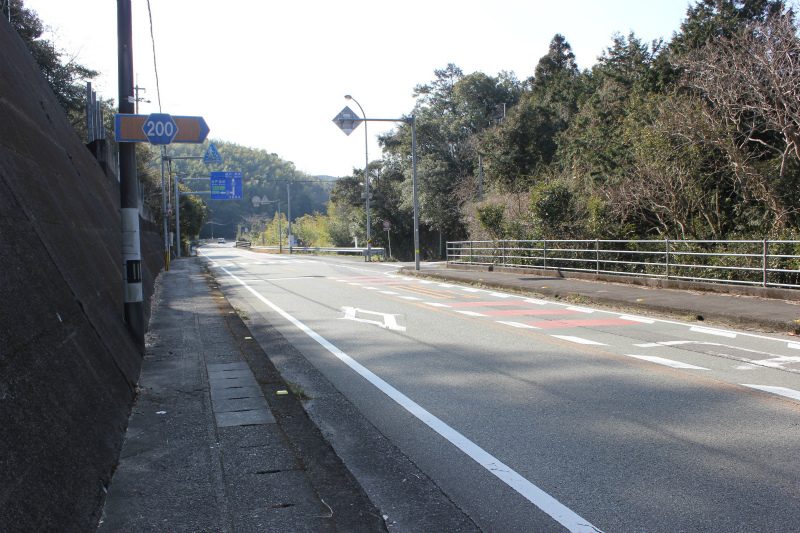
5.9 km point (Route#2 to the left. Route#1 to the right.)
The second section (Route #1 — 7.8 km point)

Kaitani pass (Old route)
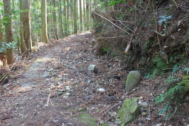
Edo era signpost 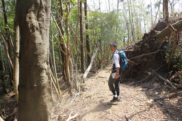
Kaitani Pass
Yukisaka Pass
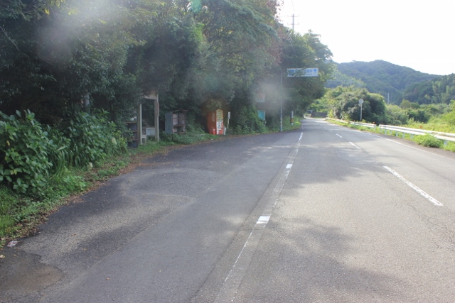
Yukisaka route 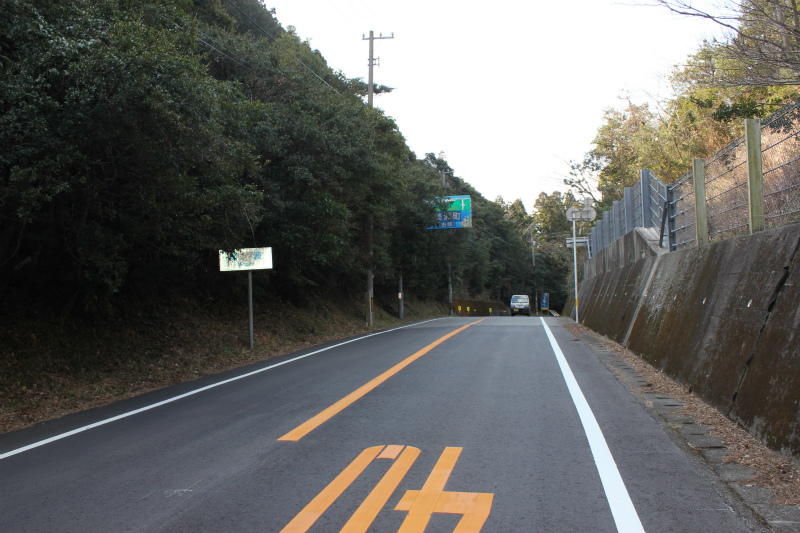
Yukisaka route
The second section (From 12.5km)
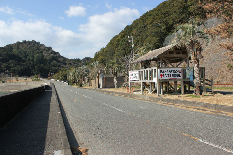
Tainohama 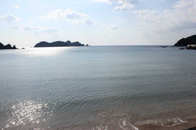
Tainohama
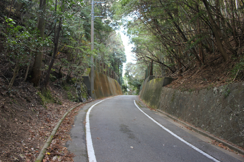
Yamaza Pass 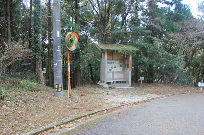
Yamaza Hut
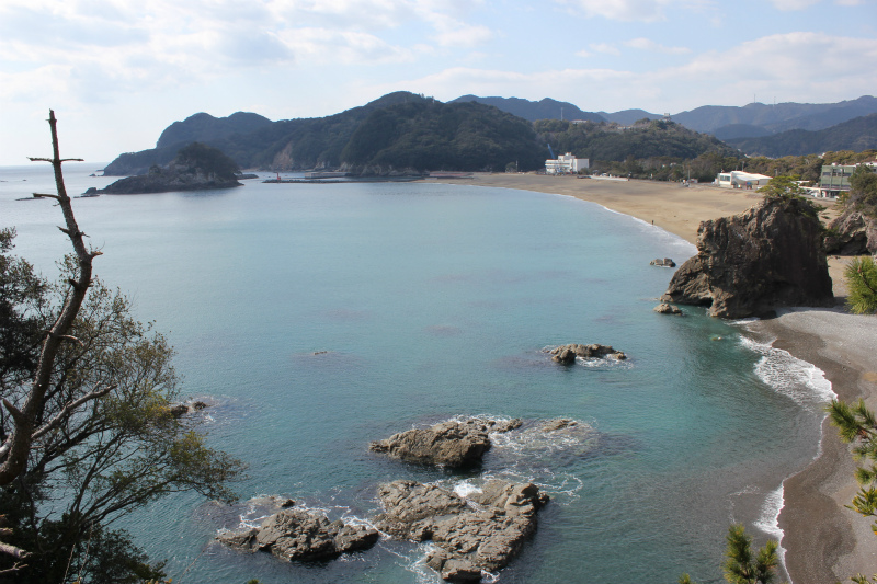
Ebisu Beach 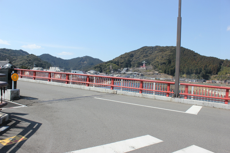
#23 in the distance
The second section(Route 2)
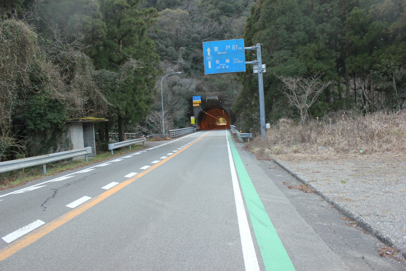
Section Ⅱ (Route #2) 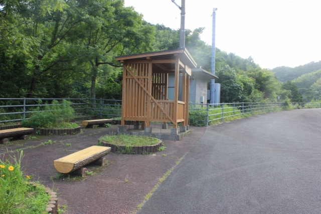
Section Ⅱ (Route Ⅱ)
