<<=Back to Top <<=Fudasho (Numbered temples)
Route:<<=Iwamotoji(#37) to #38 #39 to Kanjizaiji(#40)=>>
Date:2020/02/11
・・・Information・・・
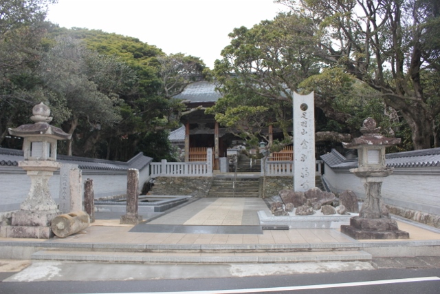
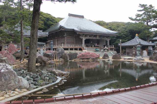
Hondo (#38) 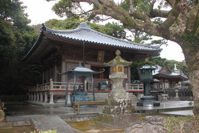
Daishido (#38)

History
In 822, Kōbō Daishi, following the wish of Emperor Saga, carved a statue of Senju Kannon and founded this temple. It is believed one can set off for the land of paradise (Fudaraku) where Kannon lives from here because Kōbō Daishi saw Kannon when he looked out into the sea. [Provided by Shikoku Japan 88 Route Guide]
・・・Route Information・・・
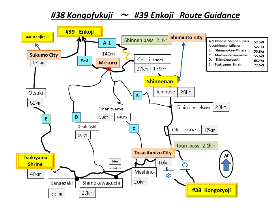
Number of routes: 6 routes.
There are six routes in this section.
A-1 is a traditional route, but the old trail is almost gone.
A-2, B, and D are on modern roads.
C is a new route built in the 1970s.
E follows an old pilgrimage road, but it is mostly a car road now.
Routes C and D have few pilgrims. There are almost no signposts or shops. Be careful.
The outline of the route is as shown.
Distance : A-1: 52.5 km. A-2: 52.1 km. B: 53.8 km. C: 55.6 km
D: 63.4 km. E: 72.6 km.
Elevation change: -23.6 m
Route A
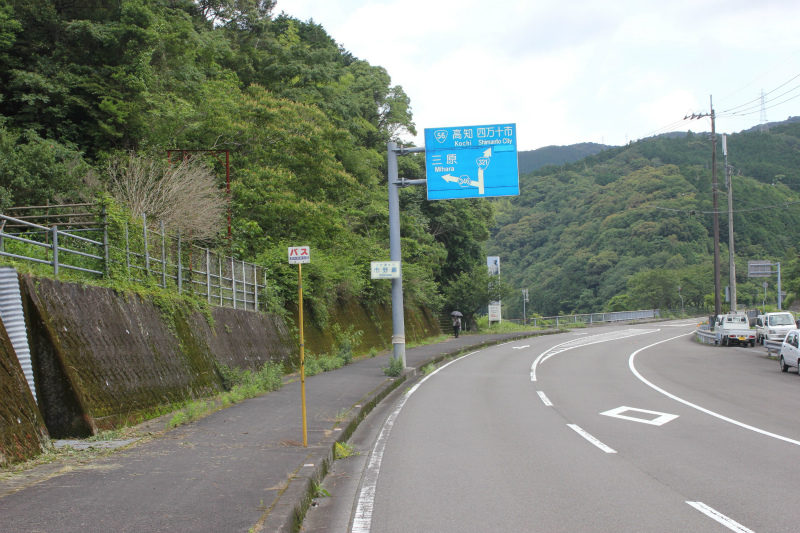
A: Go up the stairs to Shinen-an 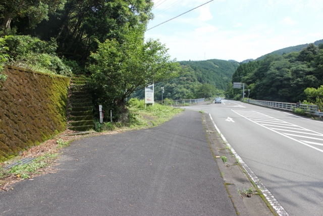
A: Stairs to Shinen-an
A: Shinnen-an 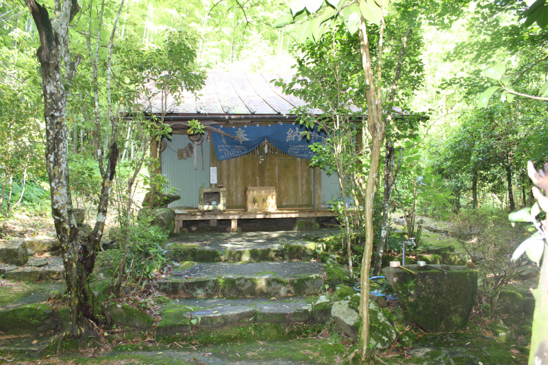
A: Shinen=an
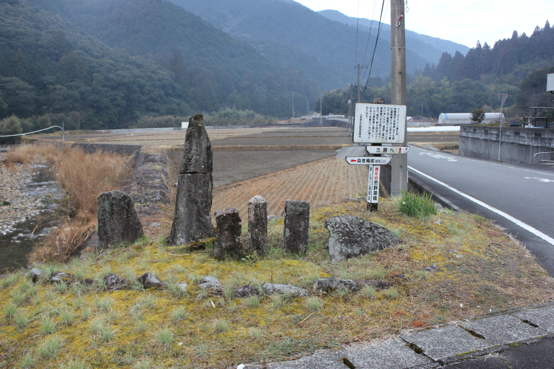
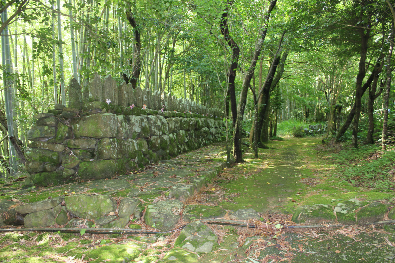
A: Pilgrimage road from Shinnen-an 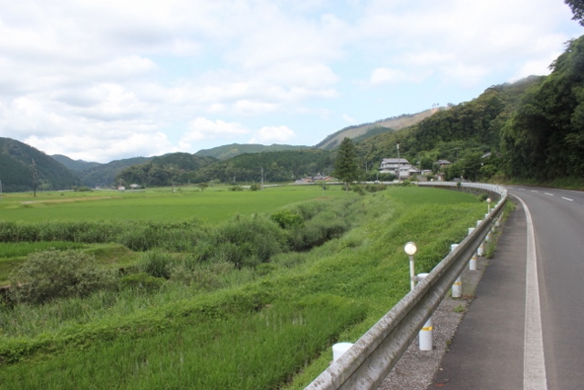
A: Pilgrimage road

A: Pilgrimage road from Shinnen-an 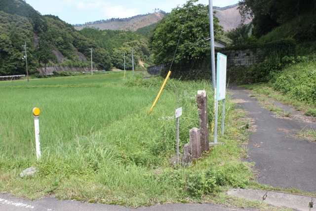
A: Turn right for A-1

A: A-1 is to the right 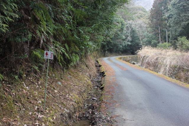
A-1: Pilgrimage road
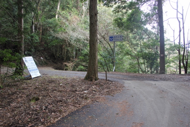
A-1: Jizo Pass 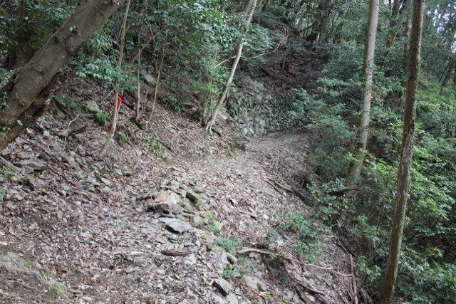
A-1: Pilgrimage road from Jizo Pass
Route C D E (From #38 to Tosashimizu)
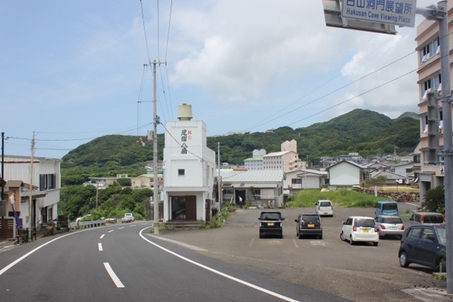
C D E: Ashizuri town 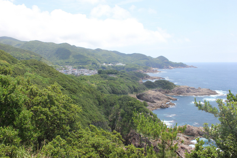
C D E: Coastline
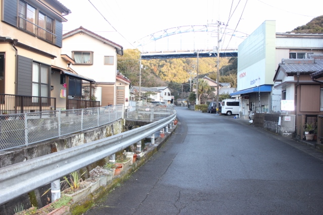
C D E: Nakanohama town 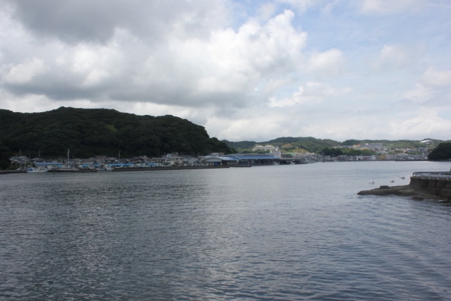
C D E: Tosasimizu
Routes C D E (From Tosashimizu to #39)
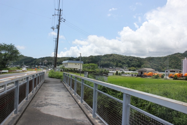
C: Route C 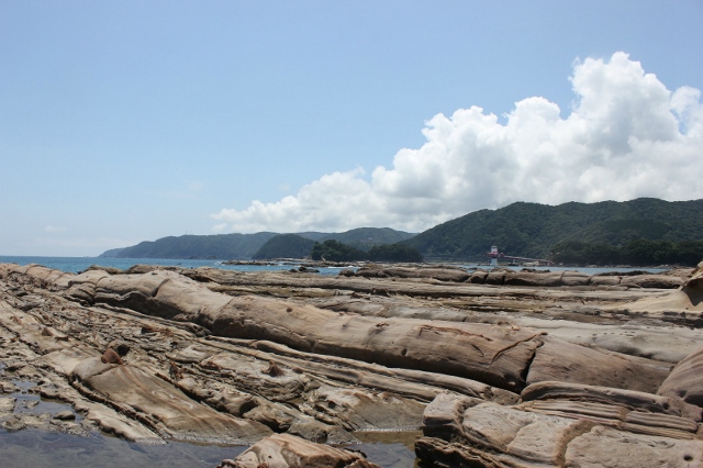
E: Tatsukushi park
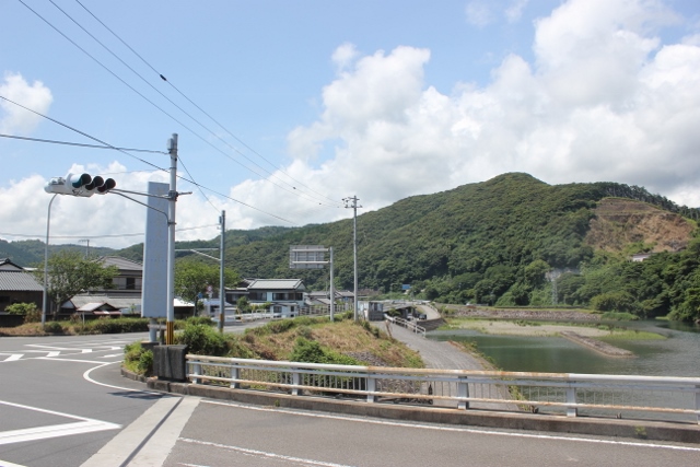
D: Shimokawaguchi 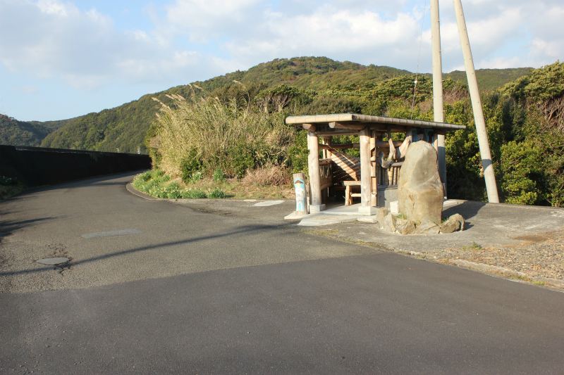
E: Towards Tsukimiya Shrine
Tsukiyama Shrine
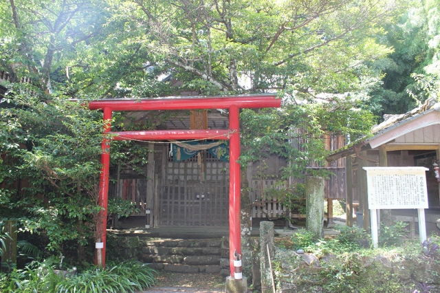
E: Tsukiyama ShrIne 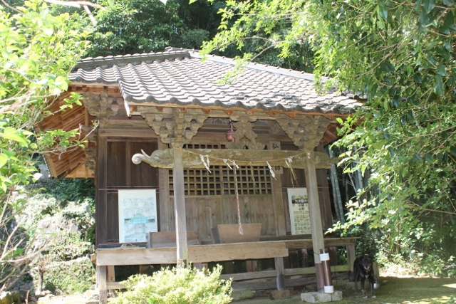
E: Tsukiyama Shrine
