<<=Back to Top <<=Fudasho (Numbered temples)
Route:<<=Kongochoji(#26) to #27 #28 to Kokubunji(#29)=>>
Date:2020/02/02
・・・Information・・・
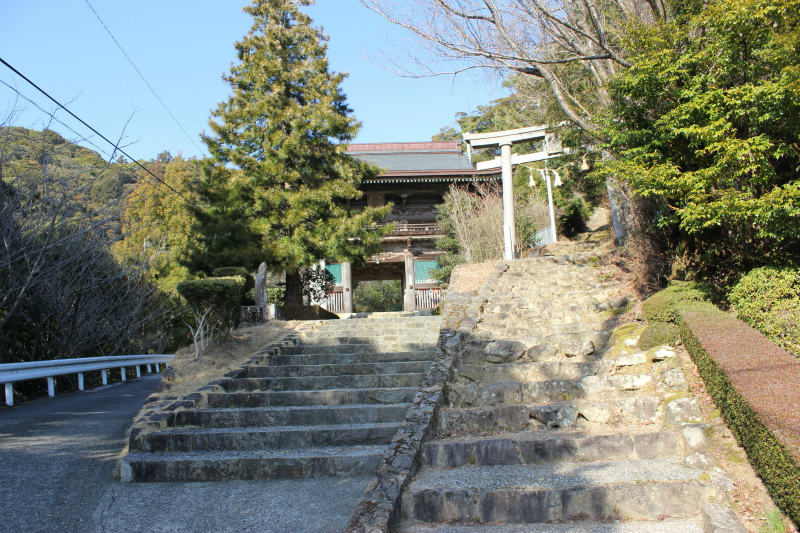
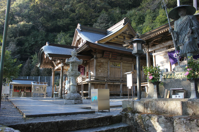
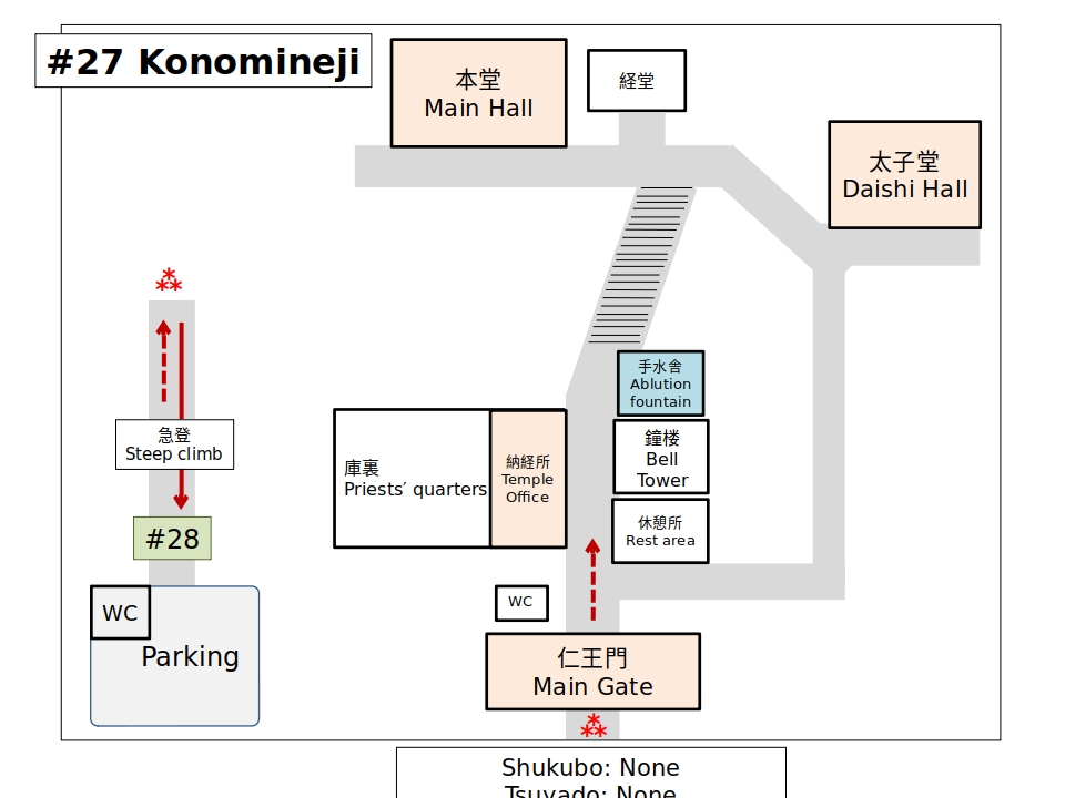
Hondo (#27) 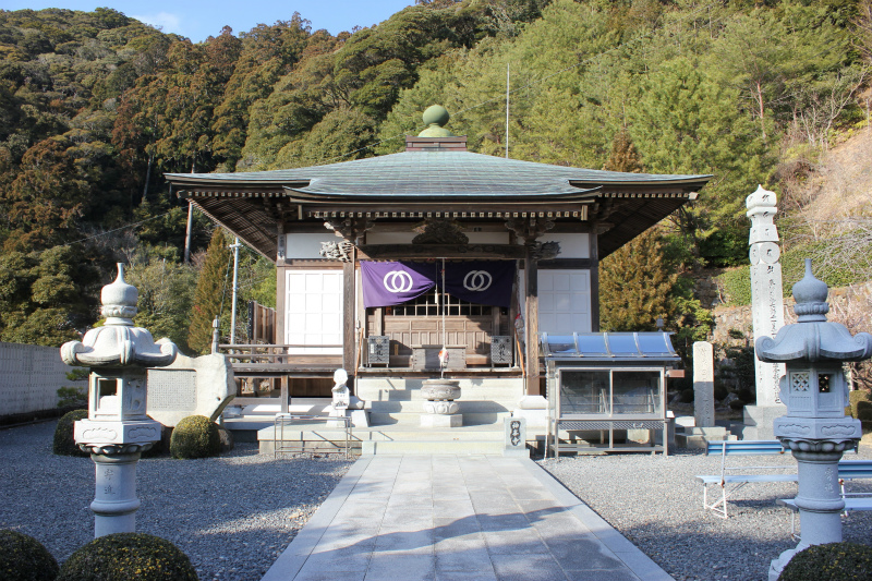
Daishido (#27)
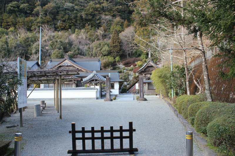
Courtyard (#27) 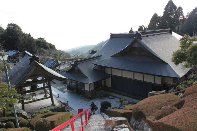
View from the main hall (#27)
Konomine Shrine on the top of the mountain with good view.
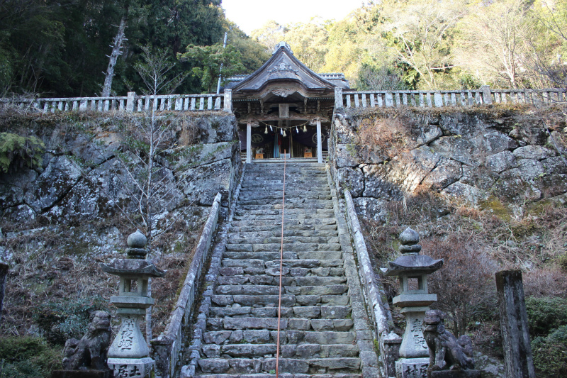
Konomine shrine 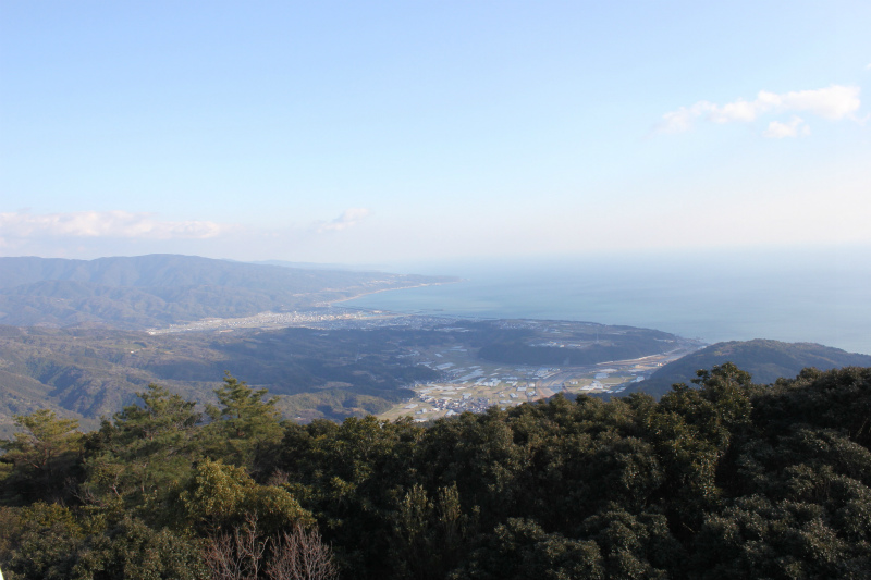
A view of ♯26 from Mount Konomine
History
This temple, considered to be the sekishoji (spiritual checkpoint temple) of Kōchi prefecture, is located at the end of a very steep road. On the grounds is a beautiful garden and next to the temple bell, kōnomine no mizu (the water of Kōnomine) flows out between the rocks. A woman who had a severe illness saw Kūkai in a dream. He told her to drink this water and after she did so she was cured. [Provided by Shikoku Japan 88 Route Guide]
・・・Route Information・・・
Number of routes: Only 1 route.
‣The 3 km from Oyama Michinoeki to Ioki is an easy walk on a sidewalk.
・The 14 km from Aki City to Yasu Michinoeki is a bicycle and pilgrimage road using the base of an abandoned railroad line. It an easy and pleasant section to walk.
Distance : 38.0 km
Elevation change: -350.9
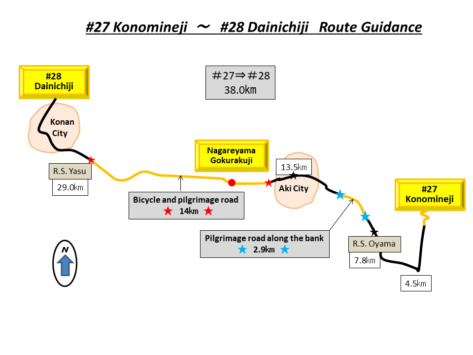
Oyama Michinoeki to Ioki section (About 3 km)
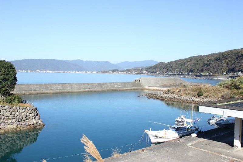
Michinoeki Oyama 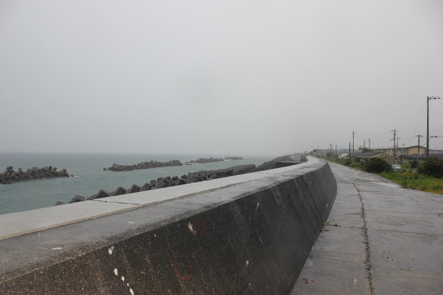
Embankment pilgrimage road
Oyama MIchinoeki to Yasu Michineki route (About 14 km)
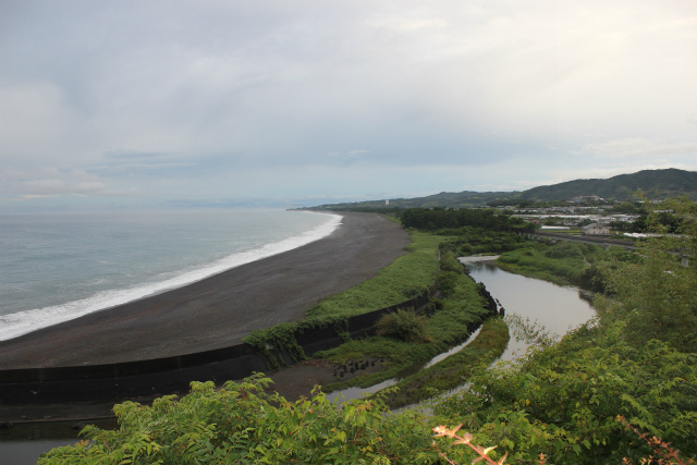
View of the bicycle and pilgrim road 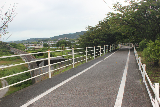
Bicycle and pilgrim road
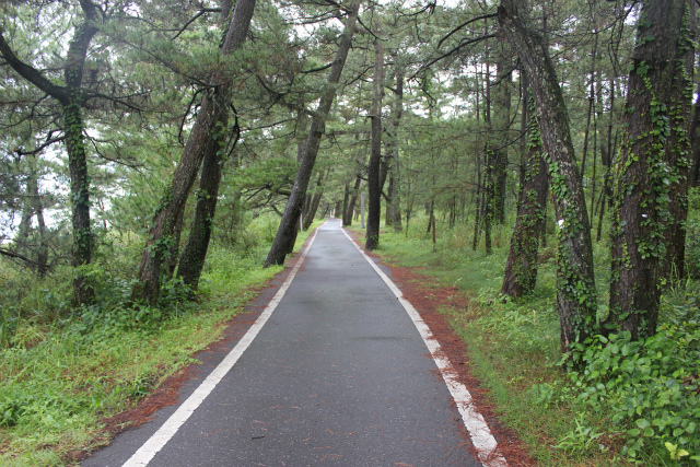
Bicycle and pilgrim road 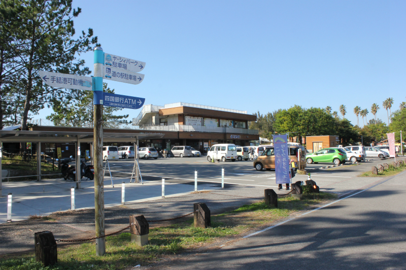
Michinoeki Yasu
