ブログUP日:2017/12/23
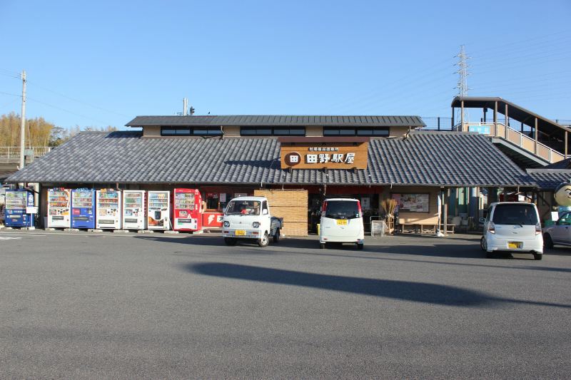
2017年12月13日、26番札所金剛頂寺から中間地点の「道の駅田野駅屋」まで車&歩きで写真撮影遍路。本区間は約18㎞。海岸線のへんろ道、吉良川の古い街並み&山道と変化に富んでいる!。
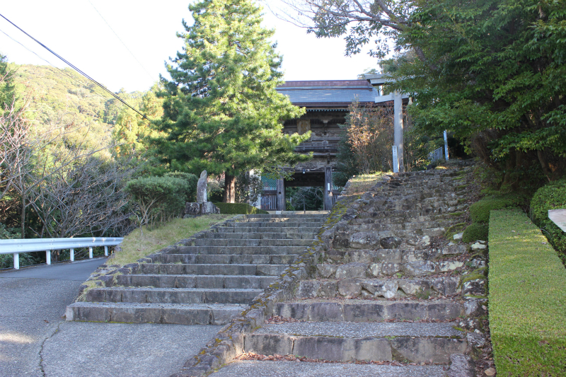
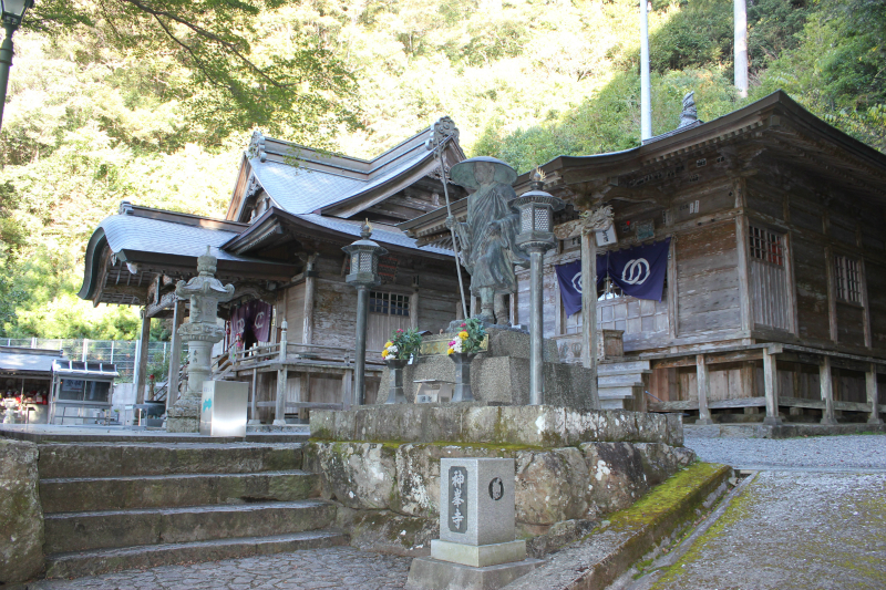
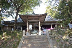
26番札所金剛頂寺太子堂横の遍路道を「道の駅キラメッセ室戸」に向け遍路
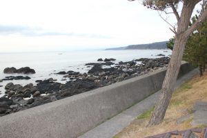
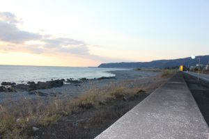
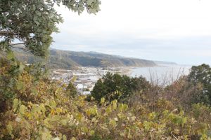
キラメッセ室戸から羽根方面を望むことができる
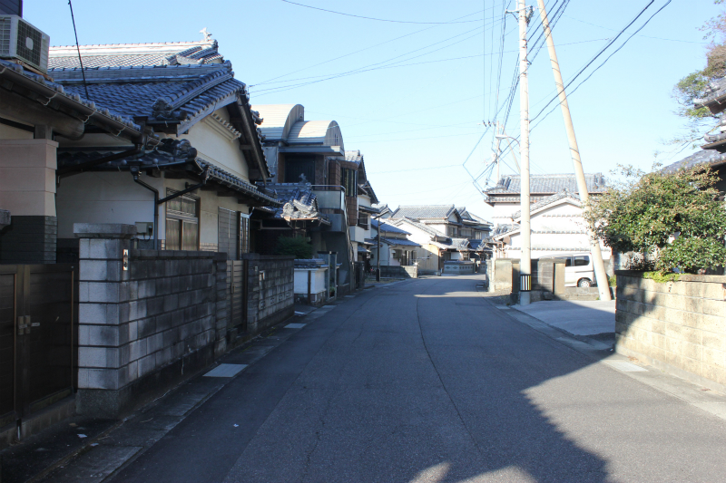
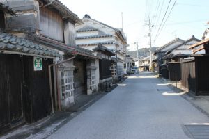
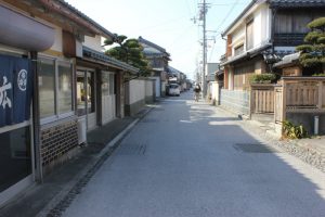
キラメッセ室戸から一時間ほど遍路すると吉良川へ。吉良川は備長炭集積地で栄えた町。古い街並みが残る旧道を遍路しよう!。
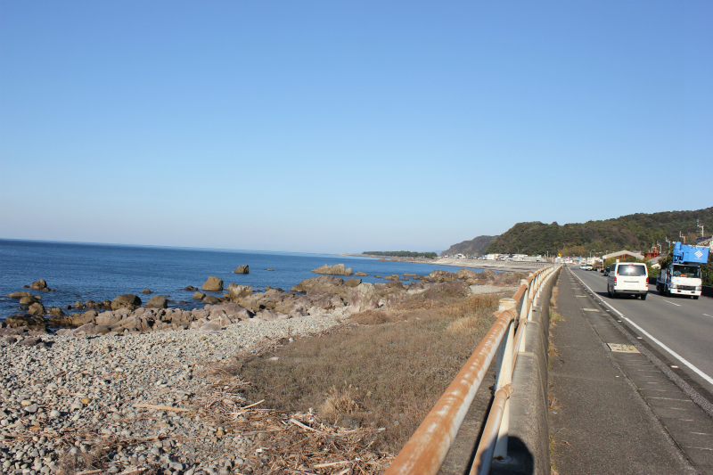
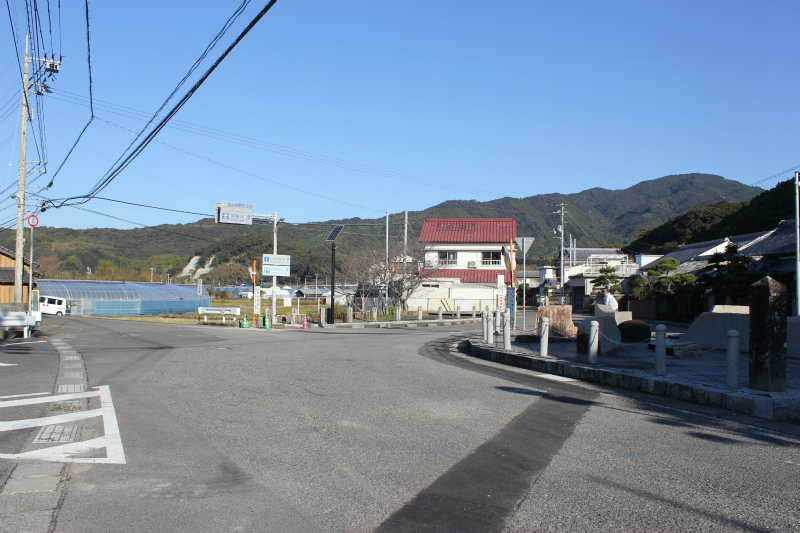
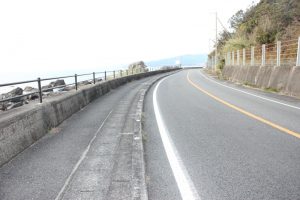
吉良川の町を抜け再び海岸沿いの遍路道を3㎞程行くと羽根集落へ。ここからは国道沿い&羽根岬の中山峠道(標高100m)の2つのルートがある。峠道は海岸線より1.2㎞短縮できる。
国道沿いのルート
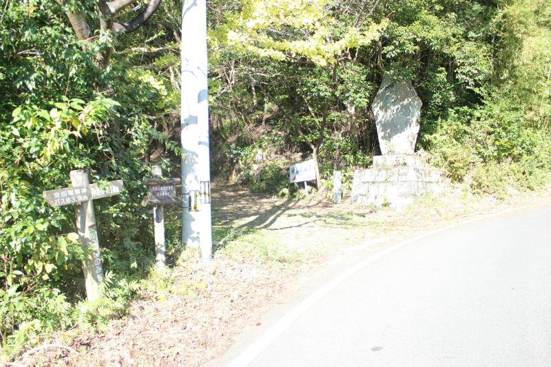
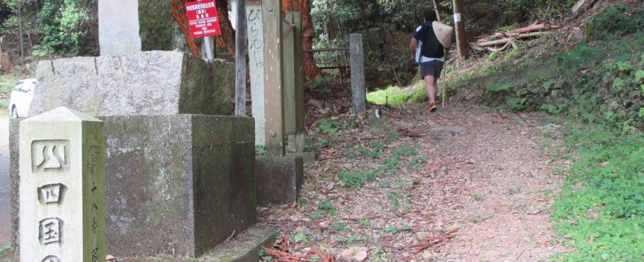
中山峠への遍路道
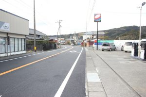
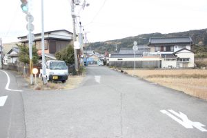
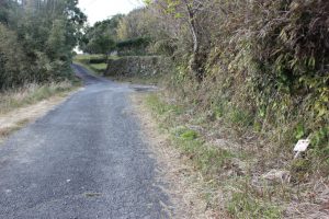
羽根郵便局から少し遍路するとガソリンスタンドが。三叉路を右の旧道を遍路
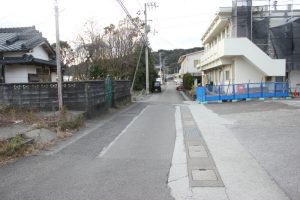
古い街並みを1㎞程遍路すると市営住宅が。ここを右に曲がる
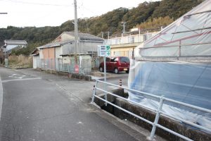
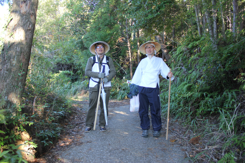
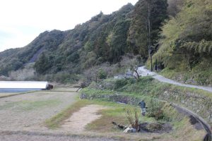
市営住宅内を遍路し山道へ。ここで農作業をしていた地元の人と雑談。このルートを整備していた知人も老齢化に伴い最近は休みがちで整備も十分ではないとのこと。
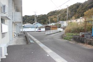
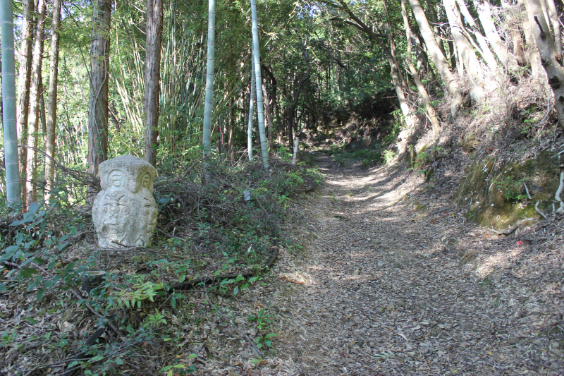
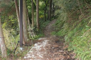
遍路道は割と整備されていた。遍路道は数か所車道と交差。
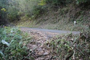
途中の展望はよくない。一か所室戸方面を展望できた。
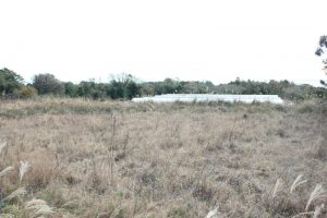
頂上付近はハウスも。また車道が
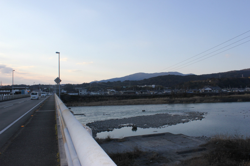
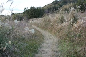
再び、海岸線の遍路道へ。4㎞程遍路すると奈半利へ。奈半利川橋右前方に神峯山(570m)の山並みを望むことができる。